While you're exploring these sites, tag #mkewaterpassport!
Check out this year's Doors Open Bingo Card, made possible with support from Fund for Lake Michigan. This is a new guide to Doors Open kid friendly and water focused locations and activities.

Water Passport Sites
Watershed Map
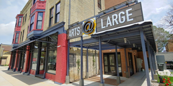
Arts @ Large
1100 S 5th St
Dead Bird Brewing Co.
1726 N 5th St
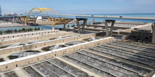
Jones Island Water Reclamation Plant
700 E Jones St
Meetinghouse of the Milwaukee Religious Society of Friends (Quakers)
3224 N Gordon Pl
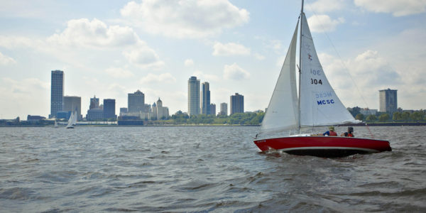
Milwaukee Community Sailing Center
1450 N Lincoln Memorial Dr
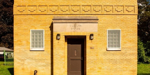
Milwaukee Water Works Kilbourn Reservoir Pumping Station
626 E North Ave
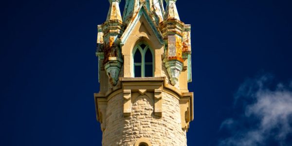
Milwaukee Water Works North Point Water Tower
2288 N Lake Dr
Urban Ecology Center – Menomonee Valley
3700 W Pierce St
Urban Ecology Center – Riverside Park
1500 E Park Pl
UWM School of Freshwater Sciences
600 E Greenfield Ave
Water defines Milwaukee, whether it’s vast Lake Michigan to your east, the rivers and tributaries that feed it, landscaping features designed to absorb rain and runoff, or the underground pipes and chambers that manage storm and waste water. Fund for Lake Michigan invites you to use the Virtual Doors Open water passport to explore the relationship between Milwaukee’s water and the city’s industrial, commercial, civic, and residential development.
The Doors Open Water Passport and Bingo Card were made possible with support from the Fund for Lake Michigan. Special thanks to Milwaukee Community Map for providing the mapping on this year's Water Passport. Learn more about Milwaukee Community Map.
Featured Water Passport locations can be found on the watershed map below, or open in a new window for ease of viewing. The area of land that drains to a body of water is called a watershed. Milwaukee's three rivers are the Milwaukee, the Menomonee, and the Kinnickinnic, each has its own watershed! Learn more about watersheds.
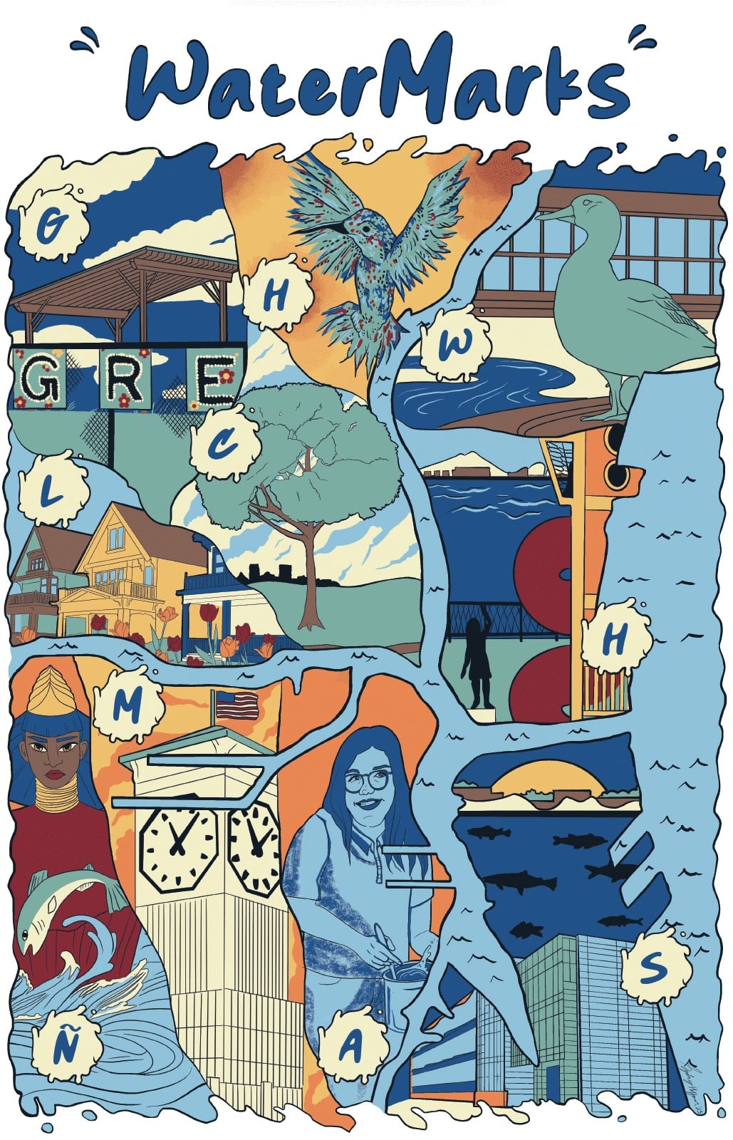
WaterMarks
WaterMarks is an initiative to develop an inclusive and urban-scaled vision for the city of Milwaukee, to help people better understand their relationships to the water systems and infrastructure that supports their lives. WaterMarks is multi-layered framework to engage residents in their communities and throughout the city.
Each WATERMARKER features an illuminated blue letter chosen by local input. These markers will pulse to inform residents when heavy rain is expected and connect to local digital water exhibits.
Play the WaterMarker game and win a poster (see poster image below)!
Plastic Free MKE Map
Plastic-Free MKE's mission is to reduce the harms that unnecessary plastics have on environmental health, public health, and social justice.
Our rivers and Great Lakes are feeling the impact of the plastic epidemic, and it is threatening the health of aquatic wildlife and our communities.
Passionate community members, small business owners, engineers, agencies, local non-profits—all make up the Plastic-Free MKE coalition.
Click each Lake Friendly icon to learn more about the business.
Explore the full Milwaukee Community Map here!
